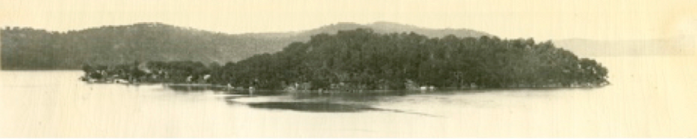
Dangar Island viewed from the Hawkesbury River Bridge, circa 1940.
Source unknown. DIHS Collection.
Contact Us
The Historical Society's collection includes written records, oral history, videos and photographs of many aspects of island life.
We run exhibitions and events such as our auction posters exhibition and our award-winning exhibition on the 125th anniversary of the construction of the Hawkesbury River Railway Bridge in 2014. The story of the auctions and the island’s connection to the first bridge can be found in our newly updated Guide.
The society was formed in 1980. Our work is all done by volunteers and funded through memberships, donations and fund-raising events. New members are very welcome.
Please subscribe to our Facebook page for news and events.
The DIHS is keen to hear your stories. Please send us an email.
Historic Guide to Dangar Island - Recently published 3rd ed.
From Indigenous Australians’ custodianship, the story of Dangar Island reflects its strategic location in the Hawkesbury River as well as the natural beauty of its environment.
• Why is the island called Dangar Island?
• When was the phone, electricity and water connected?
• Is it true the Hawkesbury Railway Bridge was originally planned to go across the Island?
• Was the head of the bridge construction eaten by sharks?
• How many people lived on the island in 1954?
The answers to these and many other facts can be found in the Historical Society’s newly published, completely revised 3rd edition Guide to Historic Dangar Island.
Copies available for $10 at the Dangar Island Depot/Shop and on the Riverboat Postman.
Five or more copies can be purchased via email.
All money raised from the sale goes to funding the DIHS, collecting and exhibition activities.
New members are always very welcome!!

Then
&
Now
Sea wall and wharf (looking east) - map reference 1 (below).
The north side of the island remains the main point of access from the river.

Circa 1911, Photographer unknown

July 2013, Photographer: David Reynolds
Public wharf & Shop (looking south) - map reference 1 (below).
The shop has occupied the site at 2 Neotsfield Ave, since 1948.


Late 50's/early 60's, Photographer unknown
August 2013, Photographer: Lisa Hayes
Public baths (looking north) - map reference 4 (below).
The swimming baths were constructed by HC Dangar when he built a home on the island in 1890.


Circa 1910, Photographer unknown
September 2007, Photographer: David Reynolds
36 Grantham Crescent (looking north-west from Grantham Cres) - map reference 7 (below).
One of the first houses built on the island following the 1921 sub-division..


Early 1920's, Photograph: Starrett family
July 2013, Photographer: David Reynolds
